
KAILASA TREKS & EXPEDITIONS
Panpatia Col Trek
Uttarakhand · 5319 m · 12 Days
THE ROUTE
About this journey
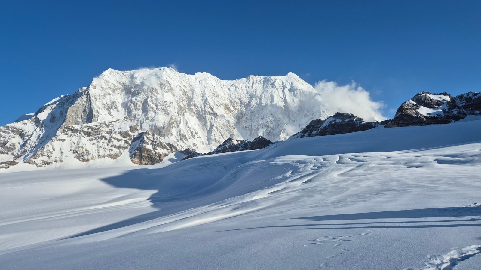
If you’re ready to move beyond regular treks and step into the world of high-altitude Himalayan adventure, the Panpatia Col Trek is the perfect challenge. Traversing one of the most scenic yet demanding routes in the Garhwal Himalayas, this trek tests your endurance, navigation skills, and ability to adapt to rugged terrain. Every part of the journey—glacial crossings, steep ridges, and unpredictable weather—requires careful planning and physical stamina. The trek connects the Govind National Park region to the Panpatia Valley, with the iconic Panpatia Col (5,200 meters) as its highest point.
The Himalayas have always been a playground for trekkers seeking extraordinary experiences, and among its high passes and alpine trails, Panpatia Col stands out as a magnet for adventure seekers. For some, it is a gateway to more challenging Himalayan expeditions; for others, it is a once-in-a-lifetime journey. The route challenges trekkers with glacier stretches, sharp ridges, and breathtaking high-altitude landscapes.
Its high-altitude terrain, technical sections, and changing weather make the Panpatia Col Trek suitable only for those with strong determination, good fitness, and prior trekking experience. Participants should be comfortable with high-altitude hiking, glacier navigation, and carrying their gear over rugged terrain.
Route details are based on Kailasa’s published trip page. Terrain, weather and permits can change the plan.
DAY BY DAY
Itinerary
The schedule below follows the published route. The guide may adjust it for mountain conditions and team safety.
01Day 1: Dehradun → Joshimath (300 km Drive)
Report at Dehradun by 7:00 AM . Drive through scenic Himalayan roads to Joshimath. Overnight stay in a guesthouse.
02Day 2: Joshimath → Alaknanda Camp (8,530 ft)
Drive + 4 km trek Drive to Hanuman Chatti and cross a suspension bridge near Khirao over the Alaknanda River. After a short walk, camp at a clearing above the river confluence. Overnight stay in tents.
03Day 3: Alaknanda Camp → Shepherd Camp (11,745 ft)
7 km trek Gradual ascent to Khirao village, followed by a steep climb through grasslands and treeline. Enjoy views of terraced farms and alpine slopes. Overnight stay in tents.
04Day 4: Shepherd Camp → Snout Camp (12,860 ft)
4 km trek A short walk brings you to the snout of the Panpatia Glacier. Campsite is located close to the glacier’s origin. Overnight stay in tents.
05Day 5: Snout Camp → Moraine Camp (14,107 ft)
8 km trek Traverse endless moraines with occasional snow patches. Stunning views of Neelkanth, Parvati Peak , and the first glimpse of Chaukhamba . Overnight stay in tents.
06Day 6: Moraine Camp → Parvati Gully Base Camp (15,091 ft)
6 km trek A short but steep climb brings you closer to Parvati Col and the vast Panpatia snowfield. Overnight stay in tents.
07Day 7: Parvati Gully Base Camp → Panpatia Snowfield Camp (17,125 ft)
Via Parvati Col (16,732 ft) | 5 km trek Technical ascent through steep snow and rock gullies using fixed ropes. Enter the massive Panpatia Snowfield, surrounded by towering peaks. Overnight stay in tents.
08Day 8: Panpatia Snowfield → Sujal Sarovar (15,551 ft)
Via Panpatia Col (17,257 ft) | 9 km trek Long traverse across the snowfield with minimal ascent. A dramatic descent leads to the serene Sujal Sarovar campsite. Overnight stay in tents.
09Day 9: Sujal Sarovar → Kachni (13,648 ft)
7 km trek Cross a small pass followed by a steep descent through snow and boulders to lush meadows overlooking the Madhmaheshwar Ganga. Overnight stay in tents.
10Day 10: Kachni → Nanu Chatti (10,695 ft)
10 km trek Descend through oak forests towards Madhmaheshwar Temple. Continue to Nanu Chatti, a quiet summer settlement. Overnight stay in tents.
11Day 11: Nanu Chatti → Ransi (6,397 ft)
13 km trek + drive Walk along the Madhmaheshwar trail to Ransi. Drive onward to Rudraprayag .
12Day 12: Reserve Day
Reserved for bad weather, acclimatization issues, or unforeseen delays. for more info Kailasa Treks.
QUESTIONS TO CONSIDER
Trip questions
What is the difficulty level of the Panpatia Col Trek?
Panpatia Col is a high-altitude trek with moderate to challenging terrain . It involves glacier crossings, steep ridges, and rugged trails, so prior trekking experience at high altitudes is recommended.
What is the best time to attempt Panpatia Col?
The ideal trekking window is June to September , when snow conditions are manageable and the weather is relatively stable.
How long is the trek?
The Panpatia Col (5,200 meters) is the highest point, requiring careful navigation over snow and glacier sections.
Do I need prior trekking or mountaineering experience?
Yes. Trekkers should be comfortable with:
Long days of trekking at high altitude
Glacier navigation and using basic trekking equipment
Carrying their gear over rough and steep terrain
What kind of accommodation is provided?
Base towns: guesthouses or lodges
Trek route: camping in tents with group cooking facilities
TAKE THE NEXT STEP
Ask for the current trip plan.
Share your mountain experience and preferred dates. Kailasa can confirm the current itinerary, departure, price, equipment and eligibility.
Published base price on the source page: ₹ 89,999. Confirm the final quote and tax before booking.
Review the cancellation, privacy and booking terms before paying.